Tuesday, November 18, 2025
1:00 – 5:00 p.m.
Baker Center
Room 240/242
Or Virtual Meeting
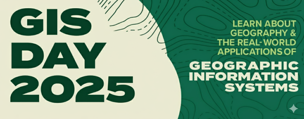
Join the OHIO geography community for GIS Day 2025, on Tuesday, November 18, as we celebrate and explore GIS on campus! With presenters from a variety of private, public, and educational institutions, we will be showcasing how GIS is a useful tool across a variety of fields for analyzing and visualizing data, providing the context needed to make decisions, and telling meaningful stories.
What is GIS? It stands for Geographic Information Systems, and in short, it is about connecting information and data to location. Applying location to data can open up new insights and help communicate ideas to a wide audience. In recent years, spatial data and communication have exploded, and people are communicating with and using maps and spatial data more than ever.
GIS Day is an international event, usually on the third Wednesday of November, where for the last 26 years groups have come together to celebrate the ways they have used GIS and spatial data throughout the previous year, or to bring in speakers from across the spectrum to expound on new ideas in the field. Ohio University has organized a GIS Day event for 4 straight years now, and we are proud to continue this event.
Agenda
| Time | Session |
| 12:00 – 1:00 p.m. | Lunch and Networking |
| 1:00 – 1:20 p.m. | Introduction to Ohio University GIS Day |
| Jonathan Brier – Data Services Librarian | |
| 1:20 – 1:40 p.m. | Leveraging Spatial Data Science to Examine Air Quality and Human Health in the Shadow of Bangladesh’s Growing Brick Industry |
| Joynal Abedin – Assistant Professor of Instruction, Geography | |
| 1:40 – 2:00 p.m. | Georeferencing & Aligning Historical Maps |
| Erin Wilson – Digital Imaging Specialist & Project Manager, Ohio University Libraries | |
| 2:00 – 2:20 p.m. | GIS at Ohio University (GIS Applications in Higher Education) |
| Trevor Flint – Geographic Information Systems Manager at Ohio University Jason Pyles – Space Manager at Ohio University | |
| 2:20 – 2:40 p.m. | Break |
| 2:40 – 300 p.m. | Identifying GIS Opportunities and Barriers |
| Gaurav Sinha – Associate Professor and Curriculum Chair Jonathan Brier – Data Services Librarian | |
| 3:00 – 3:20 p.m. | Brainstorming and Discussion |
| Gaurav Sinha – Associate Professor and Curriculum Chair Jonathan Brier – Data Services Librarian | |
| 3:20 – 3:40 p.m. | Modernizing Field Collection Workflows |
| Mitchell Tijerina and Ben Edgington, Alumni | |
| 3:40 – 4:00 p.m. | Break |
| 4:00 – 4:20 p.m. | Visualizing and Communicating Complex Geospatial Data |
| Mitchell Tijerinaand Ben Edgington, Alumni | |
| 4:20 – 4:40 p.m. | Effective Communication through GIS: Analyzing Road Security on Ghana’s Highways |
| Kwamina Kurefi Edonu – PhD student in education. Graduated 2025 with MFA in Communication Media Arts. | |
| 4:40 – 5:00 p.m. | Wrap Up |
| Jonathan Brier – Data Services Librarian | |
| 5:00 p.m. | Informal Social Time |
Partners